Engineering Geology | Faulting
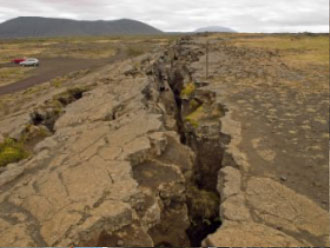
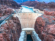
All above and below ground facilities (buildings, bridges, Dams, Pipeline, Water/Wastewater Treatment Plant, Tanks, etc.) in seismically active areas cannot not be located across active faults. Structures that cannot be moved to avoid faults must be designed to tolerate movement of the fault. Converse geologists evaluate fault hazards by researching maps of known active faults and comparing them to the planned construction. Aerial photographs and previous geotechnical reports may provide evidence of nearby faulting.
If active faulting is suspected within a project site, a fault study is often required to accurately locate the fault and provide adequate off set for the building and evaluate how recently the fault has been active. Trenches are excavated across the fault trace. Converse geologists examine the sides of the trenches to determine if a fault is present. The age of the fault may often be estimated by evaluating the age of the soil and rock crossed by the fault. Even sites that are not close to a fault may be affected by earthquakes. Historical and regional data are evaluated to estimate how often the site may experience ground shaking, how strong the shaking might be and how the earth materials and planned structures at the site may respond to the expected ground shaking.

 626.930.1200
 converse@converseconsultants.com
 Mon - Fri: 8am - 6pm


